IMD: Cyclonic storm near Guj, Mumbai in 24 hrs
June 06, 2023 09:39
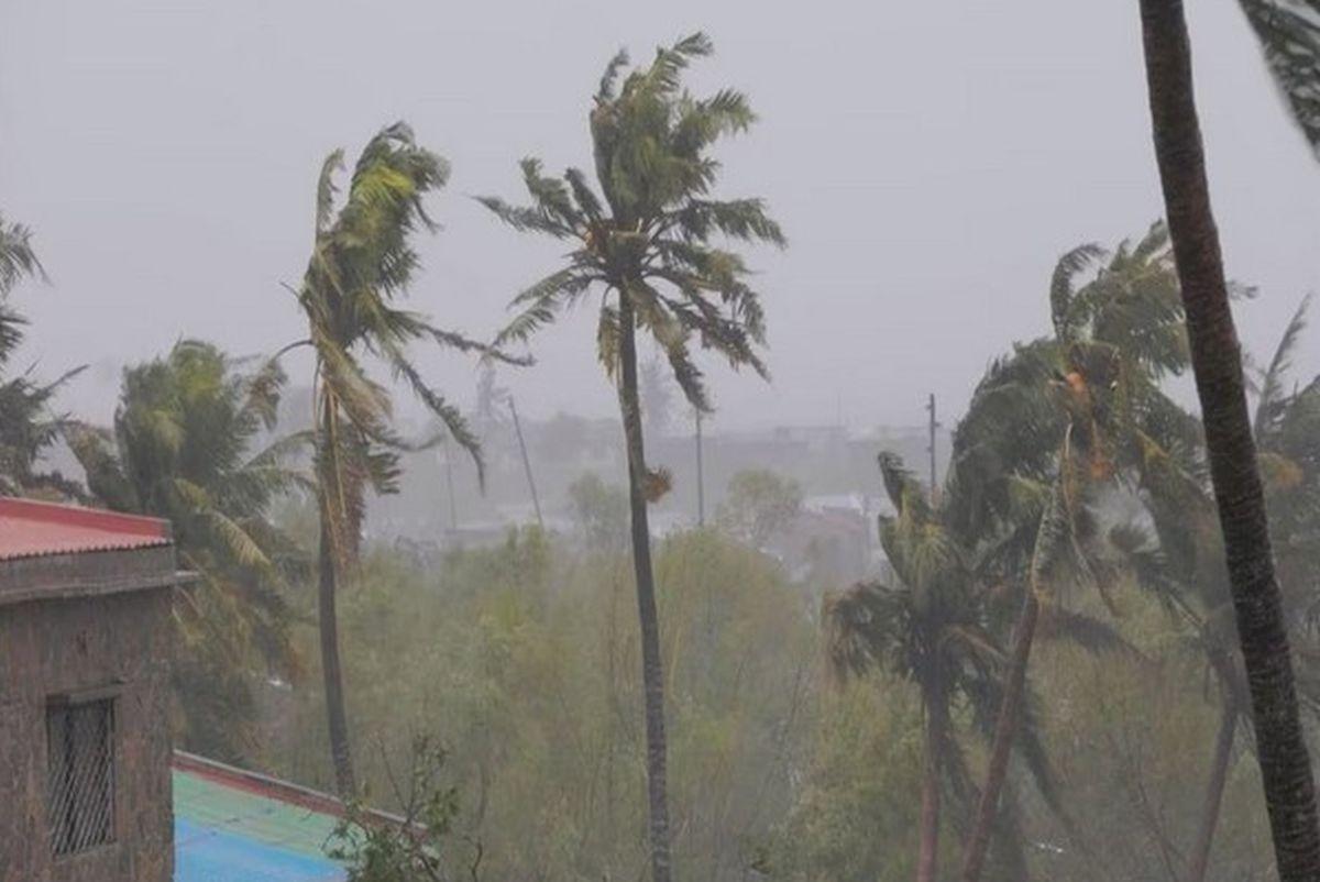
A depression over the southeast Arabian Sea, south of Porbandar in Gujarat, is likely to move northwestward and intensify into a cyclonic storm, the India Meteorological Department said on Tuesday.
In a bulletin, the Met office said the depression lay about 920 km west-southwest of Goa, 1,120 km south-southwest of Mumbai, 1,160 km south of Porbandar and 1,520 km south of Karachi, Pakistan, at 5:30 am.
"It is likely to move nearly northwards and intensify into a cyclonic storm during the next 24 hours over east-central Arabian Sea and adjoining southeast Arabian Sea," it said.
The IMD had Monday said the formation of the low-pressure system over the southeast Arabian Sea and its intensification is expected to critically influence the advance of the monsoon towards the Kerala coast. The weather department, however, did not give a tentative date for the arrival of the monsoon in Kerala. Private forecasting agency Skymet Weather said the monsoon onset over Kerala may happen on June 8 or June 9 but it is expected to be a "meek and mild entry".
"These powerful weather systems in the Arabian Sea spoil the advancement of the monsoon deep inland. Under their influence, the monsoon stream may reach coastal parts but will struggle to penetrate beyond the Western Ghats," it said.
Skymet had earlier predicted the monsoon onset over Kerala on June 7 with an error margin of three days.
"The southwest monsoon is likely to arrive within this bracket. Onset criteria require stipulated rainfall on two consecutive days over Lakshadweep, Kerala and coastal Karnataka. Accordingly, the spread and intensity of rainfall may match these requirements on June 8 or June 9. However, the onset of the annual event may not be loud and sound. It may only make a meek and mild entry to start with," the private weather forecasting agency said.
TOP STORIES


 © 2024 Rediff.com - Investor Information - Advertise with us - Disclaimer - Privacy Policy - Feedback - About us - Terms of use - Grievances